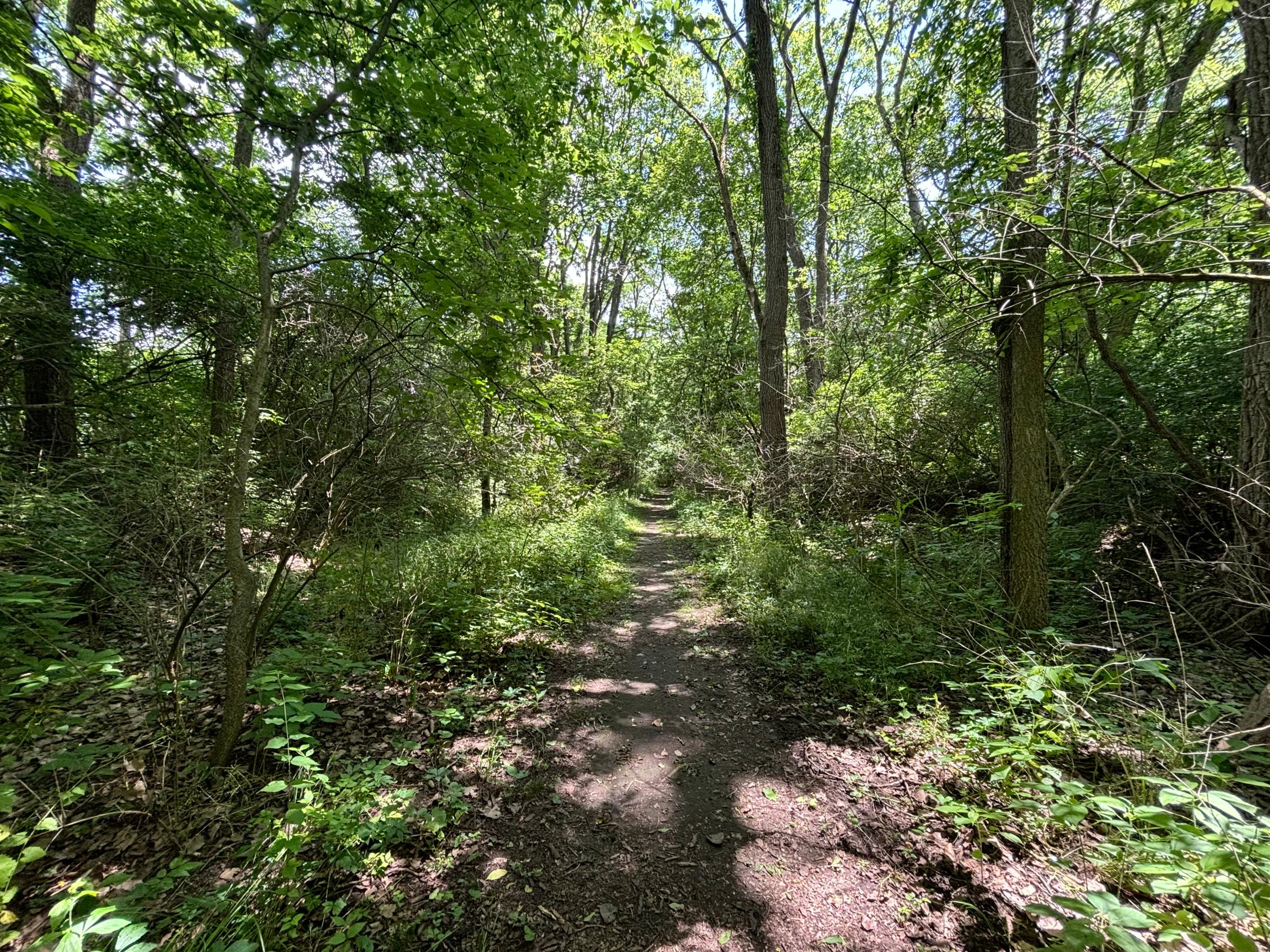
Miami & Erie Canal bed approaching the Taylorsville Dam and Great Miami River, looking east from near the Great Miami River Recreational Trail. The canal sat on a berm in the west floodplain of the river to maintain its elevation. This is a good 20 feet or so above the floodplain. This hiking path starts in the canal bed but after a short time drops out of the berm onto the floodplain floor to the north.