Streetcar Routes & Revealed Tracks
Evanston, Norwood, Pleasant Ridge, & Kennedy Heights
Location of the Hewitt Avenue carbarn in Evanston
Historic aerial of the Hewitt Avenue carbarn location in Evanston
Location of the Blair Avenue shops and cable car loop in Evanston
Cracks in the street reveal buried tracks on Cleneay Avenue in Norwood
An old trolley pole is supporting power lines on Montgomery Road in Norwood
The main tower at the US Playing Card Company in Norwood
The start of the private ROW north of Park Avenue in Norwood at Beech Street
The start of the private ROW north of Park Avenue in Norwood at Beech Street
The other end of the private ROW north of Park Avenue in Norwood
Historic Photo of the center of Norwood at Smith and Montgomery Road
Revealed tracks at the end of Harris Avenue in Norwood
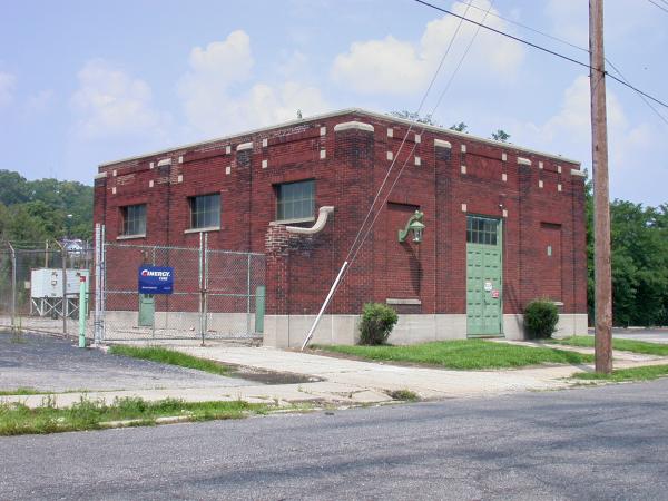
Power substation on Harris Avenue in Norwood
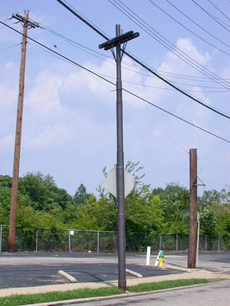
A trolley pole on Harris Avenue in Norwood
Historic photo of streetcar tracks on Harris Avenue in Norwood
Historic photo of streetcar tracks on Harris Avenue in Norwood at the CL&N crossing at Forest Avenue
Historic photo of IR&T Rapid Railway tracks on Montgomery Road at Lester Road in Pleasant Ridge
Historic photo of IR&T Rapid Railway tracks on Montgomery Road at Lester Road in Pleasant Ridge
Trolley poles on Montgomery Road in Pleasant Ridge
Historic postcard of IR&T Rapid Railway tracks and decorative poles on Montgomery Road in Pleasant Ridge
The location of the Kennedy Heights loop on Montgomery Road
Cracks in the pavement reveal possible buried tracks entering the Kennedy Heights loop on Montgomery Road
A trolley pole and retaining wall at the rear of the Kennedy Heights loop on Montgomery Road
Cracks in the street reveal the Montgomery/Kennedy wye in Kennedy Heights
Location of the Kennedy Heights wye
Generated by
jAlbum 19.3
,
Jupiter 9