Streetcar Routes & Revealed Tracks
Kenton County Kentucky
The Cincinnati, Newport & Covington Railway's headquarters in downtown Covington
Cracks in the street reveal buried tracks at Court Street and Park Place in downtown Covington
Cracks in the street reveal buried tracks at Court Street and Park Place in downtown Covington
Cracks in the street reveal buried tracks at Greenup Street and Park Place in downtown Covington
Cracks in the street reveal buried tracks at Greenup Street and Park Place in downtown Covington
Cracks in the street reveal buried tracks at Greenup Street and Park Place in downtown Covington
Cracks in the street reveal buried tracks at Scott Boulevard and Park Place in downtown Covington
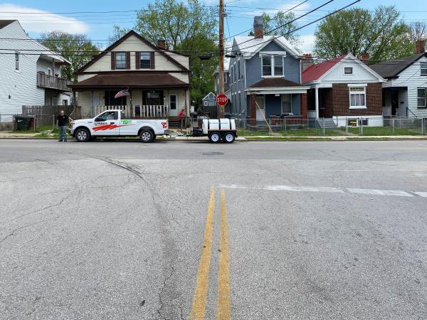
Location of carbarns and shops at the corner of 20th Street and Madison Avenue in Covington, Kentucky
Location of carbarns and shops at the corner of 20th and Madison in Covington, Kentucky
A large trolley pole on the corner of Madison Avenue and 20th Street in Covington
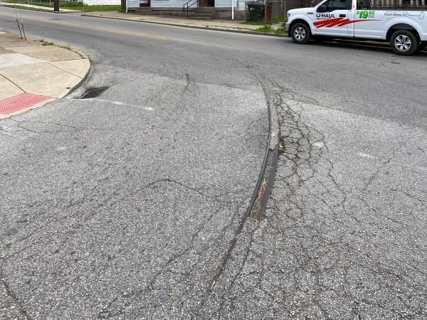
Cracks in the street reveal buried tracks that once lead into the carbarns at Madison and 20th Streets in Covington
Cracks in the street reveal buried tracks at the corner of 20th and Madison in Covington
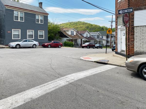
Cracks in the street reveal buried tracks for the start of the Route 5 Holman loop at Holman and 19th Streets in Covington
Cracks in the street reveal buried tracks for the start of the Route 5 Holman loop at Holman and 19th Streets in Covington
Cracks in the street reveal buried tracks for the start of the Route 5 Holman loop at Holman and 19th Streets in Covington
Cracks in the street reveal buried tracks for the start of the Route 5 Holman loop at Holman and 19th Streets in Covington
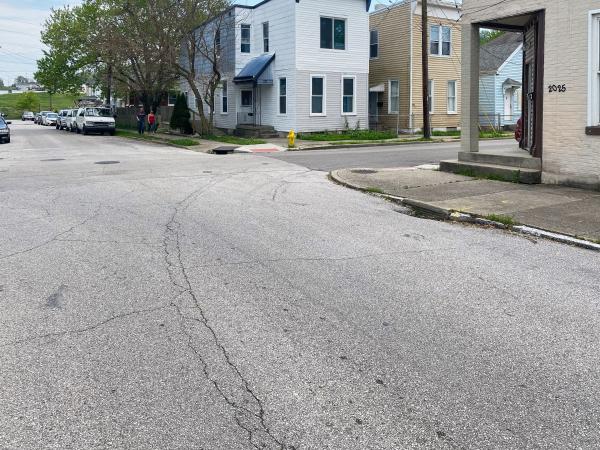
Cracks in the street reveal buried tracks for the Route 5 Holman loop at Howell and 19th Streets in Covington
Cracks in the street reveal buried tracks for the Route 5 Holman loop at Howell and 21st Streets in Covington
Cracks in the street reveal buried tracks for the Route 5 Holman loop at Howell and 21st Streets in Covington
Cracks in the street reveal buried tracks for the Route 5 Holman loop at Russell and 21st Streets in Covington
Cracks in the street reveal buried tracks for the Route 5 Holman loop at Russell and 21st Streets in Covington
Cracks in the street reveal buried tracks for the end of Route 8 Eastern Avenue at Durrett Street in Covington near the edge of Wallace Woods
Cracks in the street reveal buried tracks for the end of Route 8 Eastern Avenue at Durrett Street in Covington near the edge of Wallace Woods
Close-up view of the buried tracks for the end of Route 8 Eastern Avenue at Durrett Street in Covington near the edge of Wallace Woods
Route 8 Eastern Avenue right-of-way at Durrett Street in Covington near the edge of Wallace Woods
Route 8 Eastern Avenue right-of-way at Durrett Street in Covington near the edge of Wallace Woods
Route 8 Eastern Avenue right-of-way at the end of Maryland Avenue in Covington near the edge of Wallace Woods
Route 8 Eastern Avenue right-of-way at the end of Maryland Avenue in Covington near the edge of Wallace Woods
Route 8 Eastern Avenue right-of-way at the end of Garrard Street in Covington near the edge of Wallace Woods
Route 8 Eastern Avenue right-of-way at the end of Garrard Street in Covington near the edge of Wallace Woods
Is this a trolley pole on 34th Street in Latonia
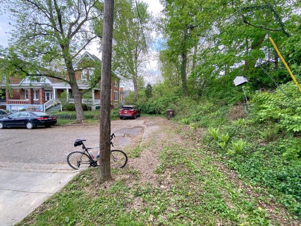
35th Street right-of-way in Latonia
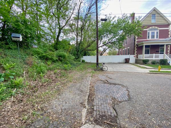
End of the Latonia line at the south end of Carlisle Avenue
Approximate location of the Latonia line's private right-of-way coming onto Latonia Avenue
Caroline Avenue viaduct with trolley poles in Latonia
Cracks in the street, and a wayward drain, reveal buried tracks turning from Caroline Avenue onto Southern Avenue in Covington
Cracks in the street reveal buried tracks at the intersection of Huntington Avenue and 40th Street in Covington
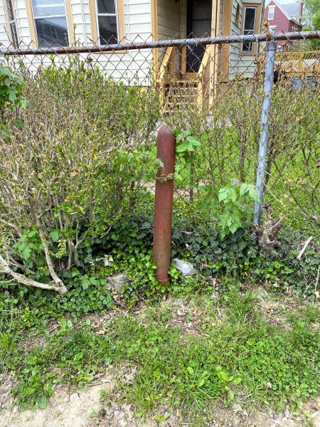
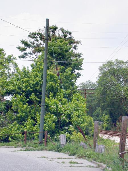
Another trolley pole on Huntington Avenue in Rosedale
A trolley pole on Huntington Avenue in Rosedale
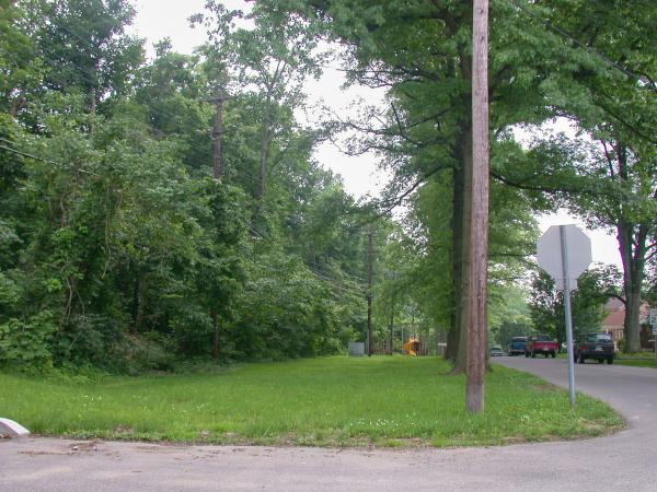
Location of the Route 6 Rosedale loop at 45th street and Huntington Avenue in Rosedale
A more recent view of the Route 6 Rosedale loop at 45th street and Huntington Avenue in Rosedale
A close-up view of the trackbed coming onto 45th Street
Another view of the trackbed coming onto 45th Street
The north end of the Route 6 Rosedale loop at Hungtinton Avenue
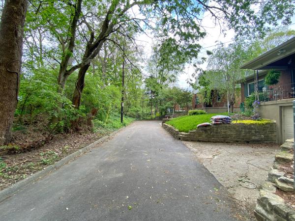
Ft. Mitchell line route between Amsterdam Road and Hamilton Road in Park Hills
Ft. Mitchell line route between Amsterdam Road and Hamilton Road in Park Hills
Old waiting shelter along the Ft. Mitchell line
Another old waiting shelter along the Ft. Mitchell line in Park Hills
Ft. Mitchell line route in Park Hills
Ft. Mitchell line route in Park Hills
Ft. Mitchell line route in Park Hills
Ft. Mitchell line route in Fort Wright
Bridge abutment on St. John's Road, near the entrance to St. John's Cemetery in Ft. Mitchell
Ft. Mitchell line route in Ft. Mitchell
Ft. Mitchell line route in Ft. Mitchell
Ft. Mitchell line route in Ft. Mitchell
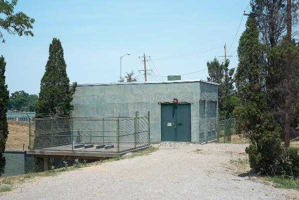
Historic photo of the Ft. Mitchell line substation on Dixie Highway
Ft. Mitchell line substation on Dixie Highway
Ft. Mitchell line substation on Dixie Highway
Historic photo of a Ft. Mitchell line car across from St. Mary's Cemetery
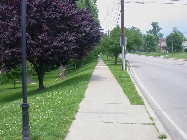
Ft. Mitchell Line ROW along the side of Dixie Highway in South Ft. Mitchell
Ft. Mitchell Line ROW along the side of Dixie Highway in South Ft. Mitchell
Ft. Mitchell Line ROW along the side of Dixie Highway in South Ft. Mitchell
Ft. Mitchell Line ROW along the side of Dixie Highway in South Ft. Mitchell
Historic photo of the Ft. Mitchell turnaround loop at Orphanage Road
Location of the Orphanage loop for the Ft. Mitchell line along Dixie Highway
Approximate location of the Pleasant loop in Bromley
Generated by
jAlbum 20.2.7
,
Jupiter 9